GIS Services for Business Solutions
Geographic Information Systems (GIS) mapping has revolutionized the way businesses visualize, analyze, and utilize location-based data. Whether you are a small business or a large enterprise, our GIS mapping solutions are designed to help you unlock the full potential of spatial intelligence and take your operations to the next level.
Key Features and Benefits:
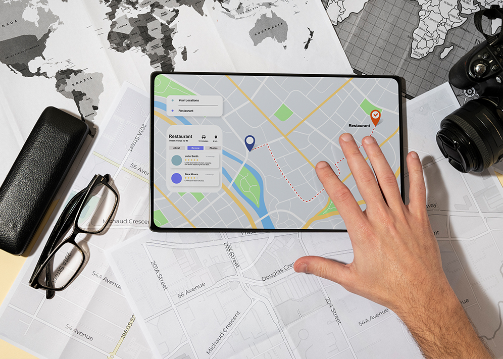
Spatial Visualization: Our GIS mapping solutions provide intuitive and visually compelling maps that allow you to see your data in a geographic context. This spatial perspective brings clarity to complex information, making it easier to understand and act upon.
Data Integration: We seamlessly integrate your existing datasets, whether they are related to customer demographics, sales territories, or infrastructure. By merging various data sources, you gain a comprehensive view of your business landscape.
Customized Mapping: Tailored to your specific industry and needs, our GIS mapping solutions offer customizable maps and layers. Highlight critical information, such as customer locations, competitors, or potential expansion opportunities, to make informed decisions.


Geospatial Analysis: Leverage the power of geospatial analytics to gain insights that were previously hidden. Identify patterns, trends, and correlations that can inform business strategies, marketing campaigns, and resource allocation.
Real-Time Updates: Stay agile and responsive with real-time data updates. Our GIS mapping solutions can be configured to receive and display live data feeds, ensuring you always have the latest information at your fingertips.
Geocoding and Address Verification: Improve address accuracy, reduce delivery errors, and enhance customer experiences with our geocoding and address verification tools. Ensure that your location data is precise and up-to-date.
Industry Solutions
Oil and Gas
- Exploration and Production: GIS helps in site selection, reservoir management, and drilling planning by analyzing geological and geographical data.
- Pipeline and Facility Management: It aids in monitoring and maintaining pipelines, rigs, and facilities, ensuring safety and regulatory compliance.
- Emergency Response: GIS is crucial for quick response and resource allocation during oil spills or other emergencies.


Manufacturing
- Supply Chain Optimization: GIS assists in route planning, inventory management, and locating distribution centers for efficient logistics.
- Facility Management: Manufacturers use GIS for site selection, optimizing plant layouts, and tracking equipment maintenance.
- Market Analysis: It helps in identifying target markets, assessing regional demand, and making data-driven expansion decisions.
Construction
- Project Planning: GIS aids in site selection, terrain analysis, and resource allocation for construction projects.
- Site Safety: It enables the assessment of potential safety hazards and the implementation of safety measures.
- Progress Tracking: GIS can monitor construction progress in real-time, helping to manage timelines and budgets effectively.


Retail
- Location Analysis: GIS assists in store location selection, competitor analysis, and understanding customer demographics.
- Visual Merchandising: It helps design store layouts for optimal product placement and customer flow.
- Inventory Management: GIS aids in inventory optimization and demand forecasting.
Healthcare
- Health Facility Planning: GIS is used for locating healthcare facilities, analyzing patient demographics, and optimizing healthcare access.
- Epidemiology and Disease Mapping: It helps track disease outbreaks, analyze health trends, and allocate resources for public health responses.
- Patient Transport Optimization: GIS assists in optimizing ambulance routes and coordinating patient transport.


Urban Planning
- City Master Planning: GIS plays a key role in urban development, land-use planning, and infrastructure management.
- Transportation Planning: It aids in designing efficient transportation networks, public transit routes, and traffic management.
- Environmental Sustainability: GIS is used for environmental impact assessments, green space planning, and climate change mitigation.
Environmental Management
- Natural Resource Conservation: GIS helps in monitoring and managing forests, water bodies, and wildlife habitats.
- Disaster Management: It aids in disaster preparedness, response, and recovery efforts by providing real-time data.
- Environmental Compliance: GIS assists in tracking compliance with environmental regulations and permits.


Logistics and Supply Chain
- Route Optimization: GIS optimizes delivery routes, reducing fuel consumption and transportation costs.
- Warehouse Management: It helps in warehouse location selection, inventory tracking, and order fulfillment.
- Risk Management: GIS assesses supply chain risks related to weather, geopolitical factors, and transportation disruptions.
GIS Services Offered
Oil and Gas
- Spatial Analysis: Analyzing geological data, reservoir modeling, and spatial assessment of potential drilling sites.
- Pipeline Mapping: Creating and maintaining accurate maps of pipelines and related infrastructure.
- Emergency Response Planning: Developing GIS-based emergency response plans and spill containment strategies.


Manufacturing
- Supply Chain Optimization: Route optimization, demand forecasting, and inventory management.
- Facility Location Analysis: Identifying optimal locations for manufacturing plants, distribution centers, and warehouses.
- Facility Layout Planning: Designing efficient layouts for manufacturing facilities.
Construction
- Site Selection: Analyzing site suitability based on factors like terrain, accessibility, and regulatory constraints.
- Safety Analysis: Identifying potential safety hazards on construction sites and developing safety plans.
- Progress Tracking: Real-time monitoring of construction progress and resource allocation.


Retail
- Market Analysis: Customer demographics, competitor analysis, and sales territory mapping.
- Store Location Selection: Identifying optimal locations for new stores based on market demand.
- Visual Merchandising: Store layout design and product placement optimization.
Healthcare
- Health Facility Planning: Locating hospitals, clinics, and healthcare facilities to ensure accessibility.
- Disease Mapping: Mapping disease outbreaks and analyzing their spread.
- Patient Transport Optimization: Optimizing routes for patient transport and emergency response.


Urban Planning
- City Master Planning: Land-use planning, zoning analysis, and infrastructure development.
- Transportation Planning: Designing efficient transportation networks and public transit systems.
- Environmental Impact Assessment: Assessing the environmental impact of urban development projects.
Environmental Management
- Natural Resource Monitoring: Tracking changes in forests, water bodies, and wildlife habitats.
- Disaster Management: Real-time monitoring and response planning for natural disasters.
- Environmental Compliance Reporting: Tracking compliance with environmental regulations.


Logistics and Supply Chain
- Route Optimization: Optimizing delivery routes for cost and time efficiency.
- Warehouse Management: Location analysis for warehouses, inventory tracking, and order fulfillment.
- Risk Assessment: Identifying and mitigating supply chain risks, such as disruptions and delays.
Our GIS Services

Web Mapping Services (WMS)
WMS allows clients to request maps from a server and receive static map images, which can be used for display purposes in web applications. Services can include custom map design, layer management, and map rendering.

Web Coverage Services (WCS)
WCS provides access to geospatial data in raster format (e.g., satellite images, elevation data) from a server. Services can include data retrieval, subsetting, and format conversion.

Geospatial Metadata Services (CSW)
CSW provides access to geospatial metadata catalogs, allowing users to discover and retrieve information about available datasets and services. Services can include metadata creation, validation, and cataloging.

Geospatial Data Transformation and Integration
Services that focus on data transformation, harmonization, and integration to ensure compatibility and interoperability between different geospatial datasets and formats.

Spatial Data Infrastructure (SDI) Development
Building and maintaining SDIs based on OpenGIS standards, which involve creating a framework for sharing, discovering, and accessing geospatial data and services within an organization or across organizations.

Open Source GIS Software Customization
Customizing and deploying open-source GIS software like QGIS, GeoServer, or MapServer to meet specific client requirements.

Web Feature Services (WFS)
WFS enables clients to request and retrieve geospatial data in vector format (e.g., points, lines, polygons) from a server. Services can include data sharing, data extraction, and geospatial query capabilities.

Web Processing Services (WPS)
WPS allows clients to execute geospatial processing tasks on remote servers. Services can include custom geoprocessing workflows, spatial analysis, and data transformation.

Georeferencing Services
These services involve georeferencing non-spatial data (e.g., scanned maps, historical documents) to enable spatial analysis and integration into GIS systems. Services can include digitization, rectification, and coordinate transformation.

Geospatial Analysis and Modeling
Providing customized geospatial analysis and modeling solutions based on OpenGIS standards for various applications, such as environmental modeling, transportation planning, and urban simulation.

Mobile GIS Solutions
Developing mobile applications and solutions that utilize OpenGIS standards for field data collection, real-time tracking, and spatial analysis on mobile devices.

Geospatial Data Publishing
Assisting organizations in publishing their geospatial data and services to the web, making them accessible to a wider audience while adhering to OpenGIS standards.
Ad Industry

Geospatial Targeting
Identifying and targeting specific geographic areas, such as neighborhoods, cities, or regions, to reach the desired audience effectively.

Demographic Analysis
Analyzing demographic data (e.g., age, income, education) in conjunction with geographic information to identify areas with the highest concentration of the target audience.

Market Analysis
Conducting market research using GIS to assess market potential, competition, and consumer behavior in specific geographic areas.

Competitor Analysis
Mapping the locations of competitors and analyzing their market presence to inform advertising strategies.

Site Selection
Helping advertisers choose optimal locations for billboards, digital signage, or retail stores based on factors like visibility, foot traffic, and demographics.

Route Planning
Optimizing advertising campaigns by planning routes for mobile billboards or out-of-home advertising to maximize exposure to the target audience.

Spatial Analysis
Using GIS tools to perform spatial analysis, such as proximity analysis to determine the distance between advertising locations and points of interest.

Geo-Fencing and Geo-Targeting
Implementing location-based advertising strategies by defining virtual boundaries (geo-fences) and targeting ads to users within those boundaries.

Heat Maps
Creating heat maps to visualize areas with high user activity and tailoring advertising efforts accordingly.

Customer Profiling
Creating customer profiles based on location data and behavior patterns to develop personalized advertising campaigns.

Real-Time Location Data
Integrating real-time location data from mobile devices to deliver contextually relevant ads to users based on their current location.

Ad Campaign Tracking
Using GIS to track the effectiveness of advertising campaigns by measuring foot traffic, conversions, and other relevant metrics at specific locations.

Spatial Data Visualization
Creating visually compelling maps and infographics for presentations and reports to help advertisers convey their message effectively.

Store Locator Services
Developing interactive store locators on websites and mobile apps to help customers find nearby retail locations.

Event Targeting
Leveraging GIS to target advertising for events, conferences, or festivals by identifying event venues and tailoring campaigns to attendees.

Local SEO Optimization
Optimizing online presence and search engine rankings for local businesses by using geospatial data and local SEO strategies.
Tools and Services
Proprietary GIS Mapping Tools
- ArcGIS: Esri’s ArcGIS is a comprehensive GIS platform with a wide range of tools for mapping, spatial analysis, and data visualization.
- MapInfo Professional: A desktop GIS application for mapping and spatial data analysis.
- QGIS (formerly Quantum GIS): While primarily open source, there is also a commercial version of QGIS called QGIS Pro with additional features and support.
- Global Mapper: A powerful GIS software that provides mapping, spatial data conversion, and analysis capabilities.
- AutoCAD Map 3D: Autodesk’s GIS and mapping software for design and data management.


Open Source GIS Mapping Tools
- QGIS: The open-source version of QGIS is a popular choice for mapping, data analysis, and geospatial modeling.
- GRASS GIS: A comprehensive open-source GIS software package known for its advanced geospatial analysis capabilities.
- SAGA GIS: A free and open-source GIS software with a focus on terrain analysis and geoscientific applications.
- Mapbox: Offers a range of mapping and location-based services, including Mapbox Studio for custom map design.
Proprietary Web Visualization Tools
- Tableau: While not strictly a GIS tool, Tableau is widely used for creating interactive data visualizations, including maps.
- Power BI: Microsoft’s business intelligence platform includes mapping and geospatial visualization capabilities.
- Carto: A platform for location intelligence, offering tools for map creation, analysis, and visualization.
- Google Maps Platform: Offers various tools and APIs for web-based mapping and location services.


Open Source Web Visualization Tools
- Leaflet: A popular JavaScript library for creating interactive maps on websites and web applications.
- OpenLayers: An open-source JavaScript library for creating web-based maps with support for various data sources.
- CesiumJS: A JavaScript library for creating 3D globes and maps with a focus on geospatial data visualization.
- Mapbox GL JS: A JavaScript library for creating interactive and customizable maps using Mapbox technology.
Data Analytics Tools (Proprietary and Open Source)
- Python with GeoPandas: Python is a versatile programming language for geospatial data analysis, and GeoPandas is a library for working with geospatial data in Python.
- R with sf: R is another powerful programming language for data analytics, and the ‘sf’ package provides support for spatial data in R.
- PostGIS: An extension for PostgreSQL that adds support for geographic objects, enabling spatial data analysis.
- Hadoop and Spark: Big data frameworks like Apache Hadoop and Apache Spark can be used for geospatial data processing and analysis at scale.
- KNIME: An open-source data analytics platform that includes geospatial data processing and visualization capabilities.

These tools cater to various aspects of GIS mapping, web visualization, and data analytics, allowing users to choose the most suitable options based on their specific needs and preferences.
FAQ
Geographic Information Systems (GIS) mapping is a technology that helps visualize and analyze location-based data. It benefits your business by providing spatial insights, improving data integration, and enabling customized mapping to make informed decisions.
Yes, our GIS mapping solutions seamlessly integrate your existing datasets, whether they’re related to customer demographics, sales territories, or infrastructure, providing a comprehensive view of your business landscape.
Geospatial analysis can uncover hidden patterns, trends, and correlations in your data. It can inform your business strategies, marketing campaigns, and resource allocation for more effective decision-making.
Yes, our GIS mapping solutions can be configured to receive and display real-time data feeds, ensuring you always have the latest information at your fingertips for agile and responsive decision-making.
Geocoding and address verification tools enhance address accuracy, reduce delivery errors, and improve customer experiences by ensuring your location data is precise and up-to-date.
GIS aids the healthcare industry in locating facilities, analyzing patient demographics, optimizing healthcare access, tracking disease outbreaks, and coordinating patient transport for improved healthcare services.
WMS allows you to request and receive static map images for display purposes in web applications. It offers custom map design, layer management, and map rendering, enhancing your web-based data presentation.
We offer tools like ArcGIS, MapInfo Professional, QGIS Pro, Global Mapper, and AutoCAD Map 3D, which provide advanced mapping, spatial analysis, and data visualization capabilities to meet various business needs.
Getting started is easy! Simply contact our team to discuss your specific requirements and business objectives. We’ll work with you to tailor a GIS solution that fits your needs and helps you unlock the full potential of spatial intelligence.


